Surveying Services Provider
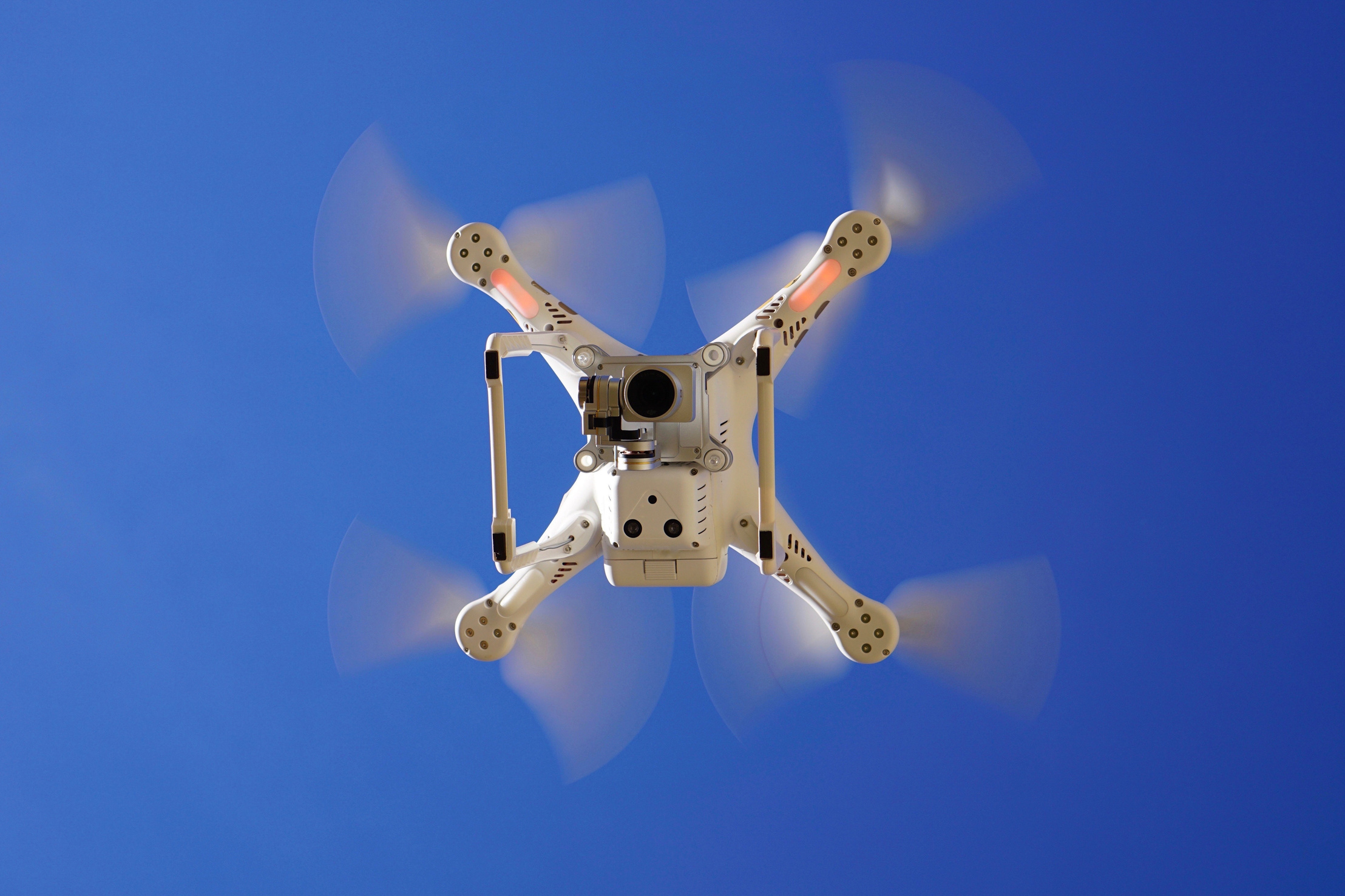
Aerial Mapping Survey
Topographical Survey
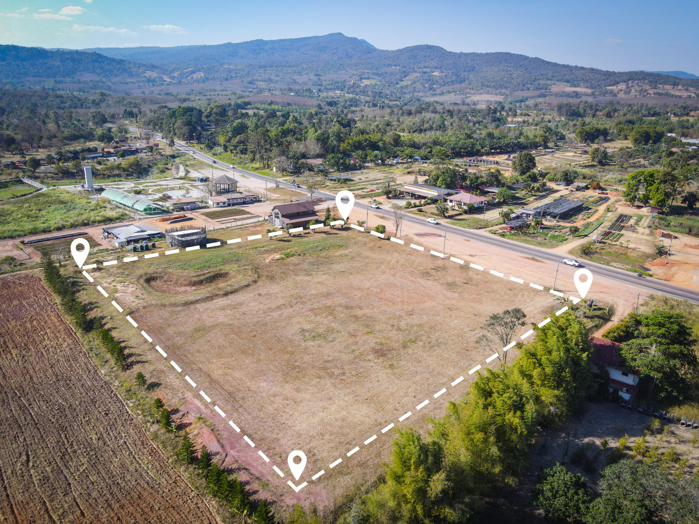
Cadastral Survey
Engineering Survey
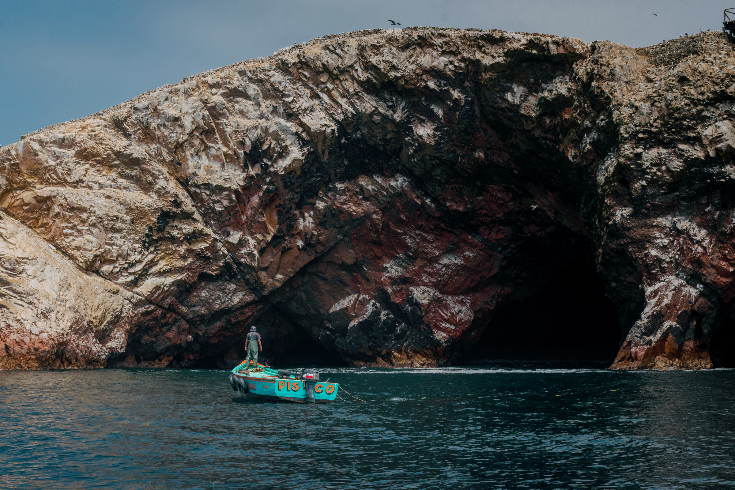
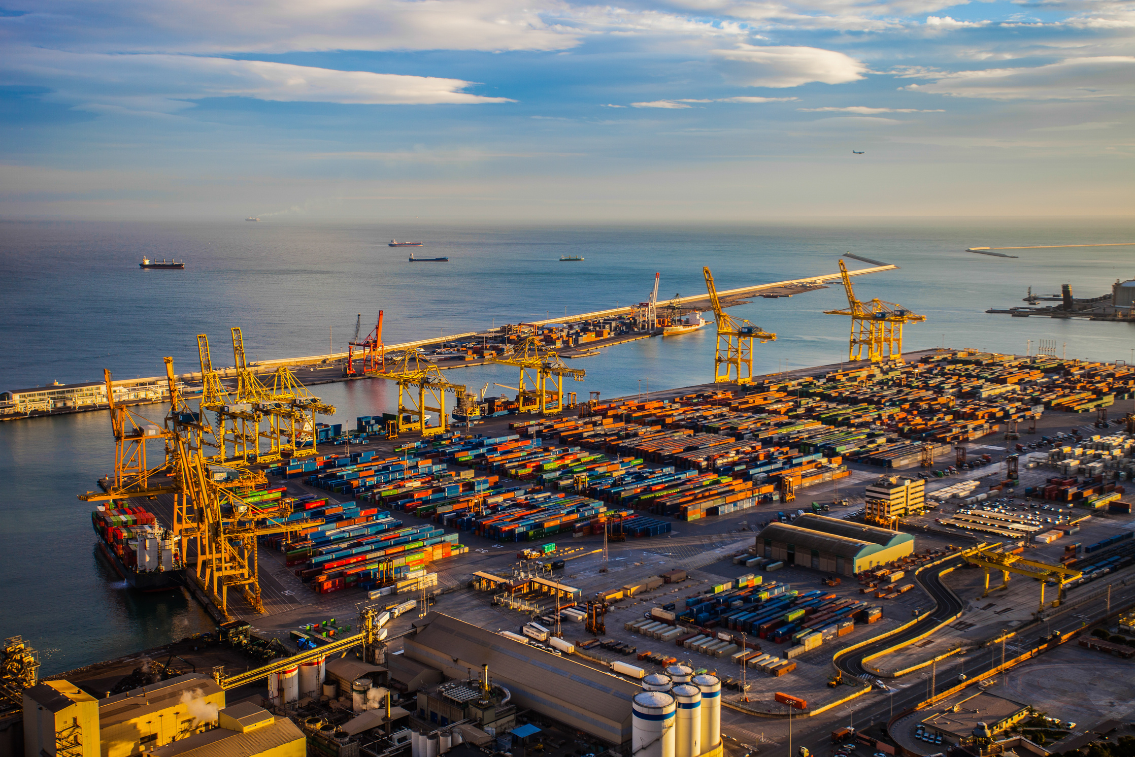
Hydrographic Survey
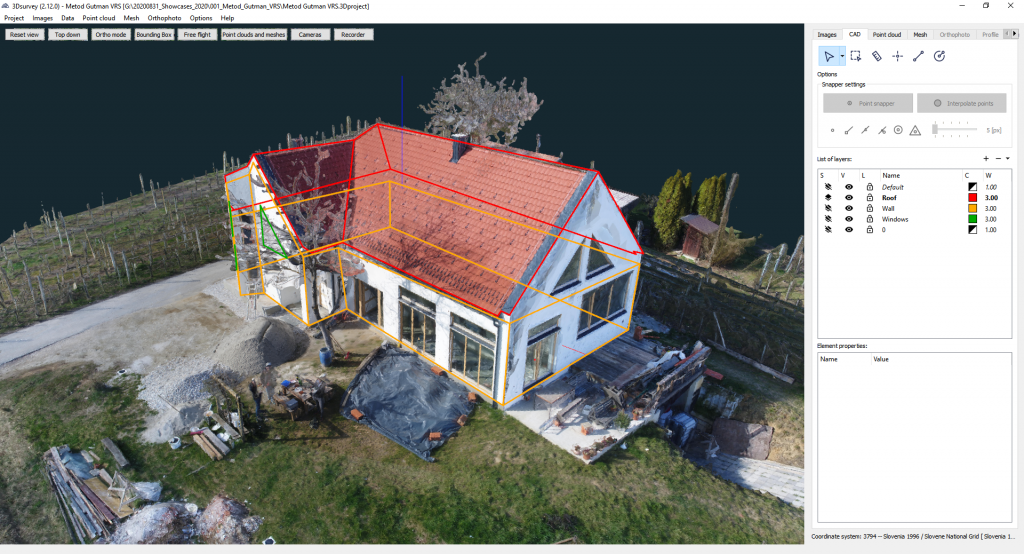
Building Information Modelling (BIM) Survey
3D Reality Modeling
Digital Twin
Lidar Scanning Service
Earthwork Volume Calculation
Project Progress Tracking
Surveying Software
Distributor

3Dsurvey distributor:
Malaysia
Singapore
Surveying Equipment Distributor
Feima Slam100 LiDAR Scanner Regional distributor:
Malaysia
Singapore
Indonesia
The Philippines
Maldives
our pROjects
50+
Locations
150+
Projects
100,000,000
Square Meter Footprints
SURVEY&MAPPING
what we do
Cadastral measurement of buildings
Measuring and mapping the physical boundaries, size, and characteristics of buildings on a piece of land for legal, administrative, or taxation purposes. This measurement is typically conducted by a licensed surveyor or a government agency, and it involves establishing the exact location, shape, size, and position of a building in relation to other structures, property lines, and geographic features.
- Building valuation
- Building refurbishment
- Building demolition
- As-Built
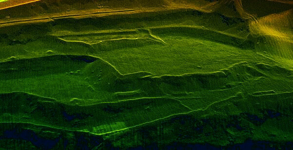
Terrain
A digital terrain model (DTM) is a 3D representation of the Earth's surface, generated from elevation data, with any man-made or natural features such as vegetation or infrastructure digitally removed. The Feima Slam100 is capable of capturing a comprehensive view of the terrain by flying both above and below the canopy.
- Property development and construction
- Modeling flood and drainage
- Subsidence modeling
- Geological studies
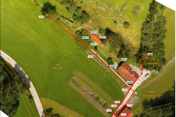
Mapping and Modelling Cadastral Boundaries
Cadastral boundaries refer to the legal boundaries of land parcels that are registered with the government. These boundaries are important for land ownership, taxation, and land use planning. Mapping and modeling cadastral boundaries involves the use of geospatial technology to accurately depict the physical and legal extent of land parcels.
- Boundary disputes
- Development planning
- Visualisation
CAVE AND CLIFFS
Slam100's rotating LiDAR sensor is designed to capture data in all directions, making it highly effective for scanning along a cliff edge or mapping a cave system. Traditional scanners require two passes to perform a 270° scan, but Slam100 can accomplish the same task in a single pass, thanks to its comprehensive and versatile data capture capabilities.
- Contour mapping
- Environmental assessment
- Pre-construction assessment
- Watershed analysis
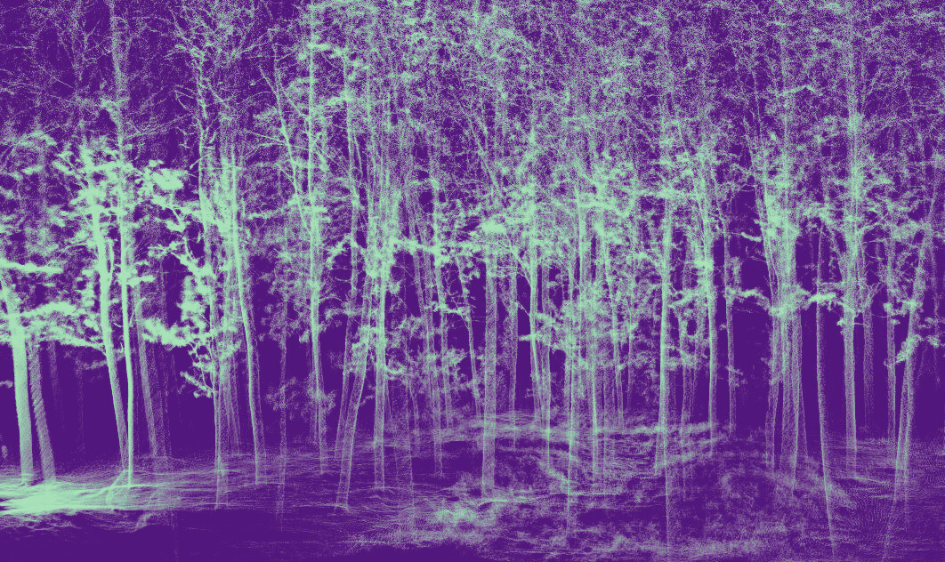
Forestry
Forestry management is poised for a major breakthrough with the advent of plantation mapping. While current solutions only capture above-canopy data, the Slam 100 drone is capable of capturing both above and under-canopy data, providing a comprehensive picture of the forest and allowing for individual tree characterization based on location, size, straightness, and branching.
- Wood volume caloulations
- Watershed modeling
- Canopy structure analysis
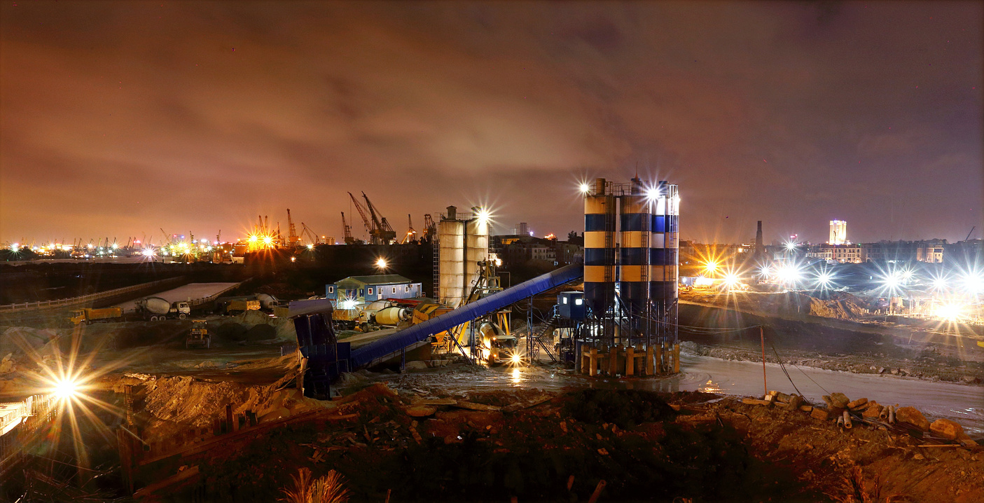
Quarry, agricultural
& Industry Plants
what we do
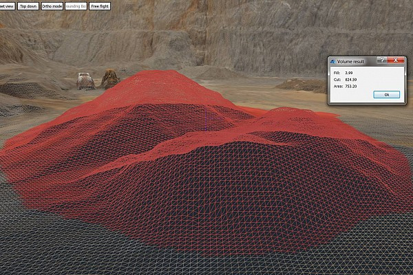
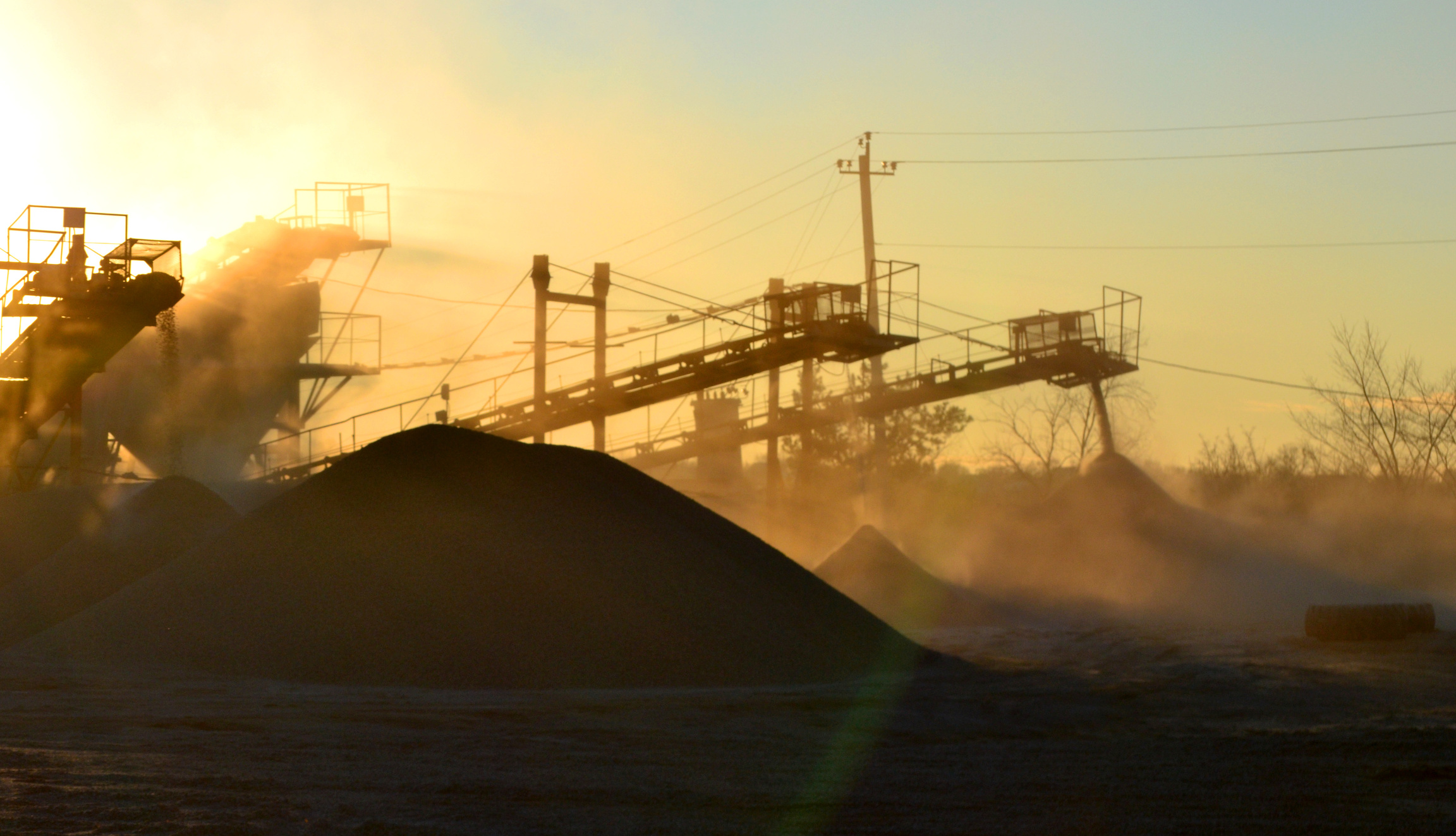
STOCKPILES & Earthwork Calculations
Conventional stockpile survey techniques can be time-consuming, labor-intensive, and may not provide complete coverage. However, with the use of Lidar and aerial mapping, accurate point cloud data can be obtained for precise volumetrics, as well as a variety of slope and stockpile analyses
- Contour mapping
- Fragmentation
- Slope and stability analysis
- Volume (indoors and outdoors)
Slam100 provides high-resolution and precise data for various purposes, including as-built or safety and change detection inspections. The captured data can be registered to a spatial reference system or previous scans, ensuring accuracy and consistency throughout the scanning process.
- As-built
- Condition monitoring
- Change detection
- Reverse engineering
- Safety and visual inspections
- Structural analysis
- Space management
- Stakeholder engagement
INDUSTRIAL
PLANT
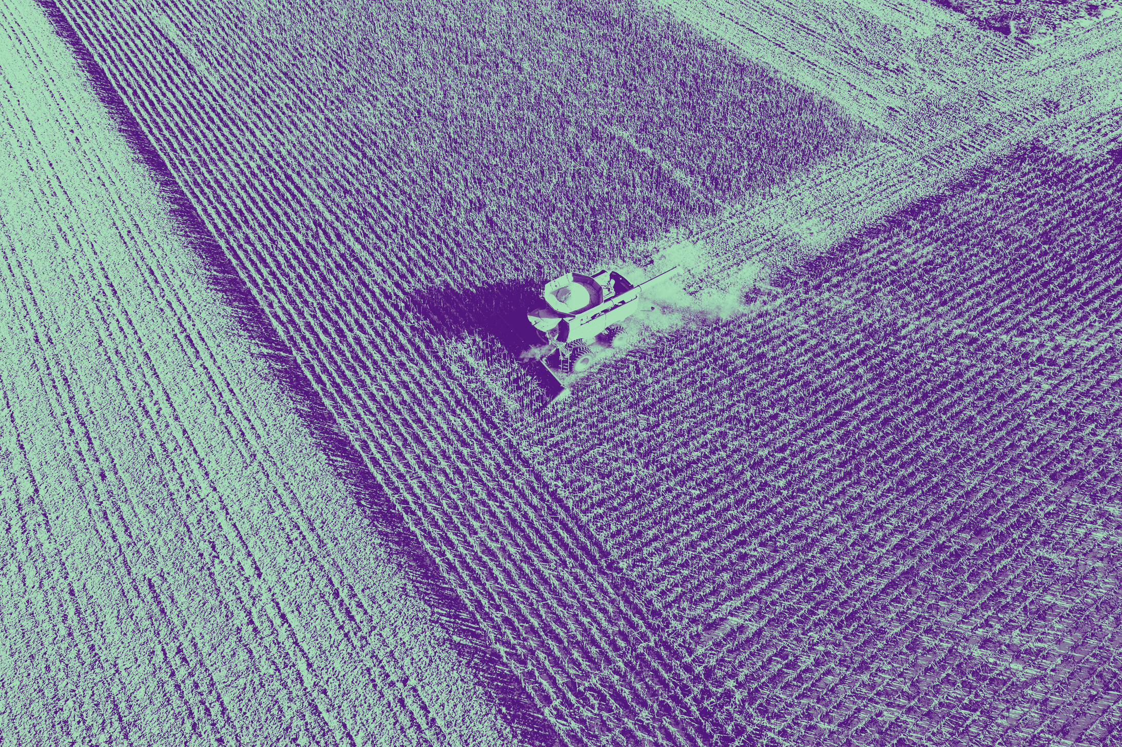
agricultural
LiDAR technology has become a popular tool in agricultural science for crop identification, estimating planted area and yield. Previously, manned airborne operations were commonly used, but they were often costly and vulnerable to cloud cover, leading to inaccuracies in data collection. Drone-based LiDAR technology offers a more cost-efficient and flexible solution, allowing for more accurate and informed crop management
- Detection of pests and disease
- Estimation of crop yield
- Monitoring crop growth
- Plantation management
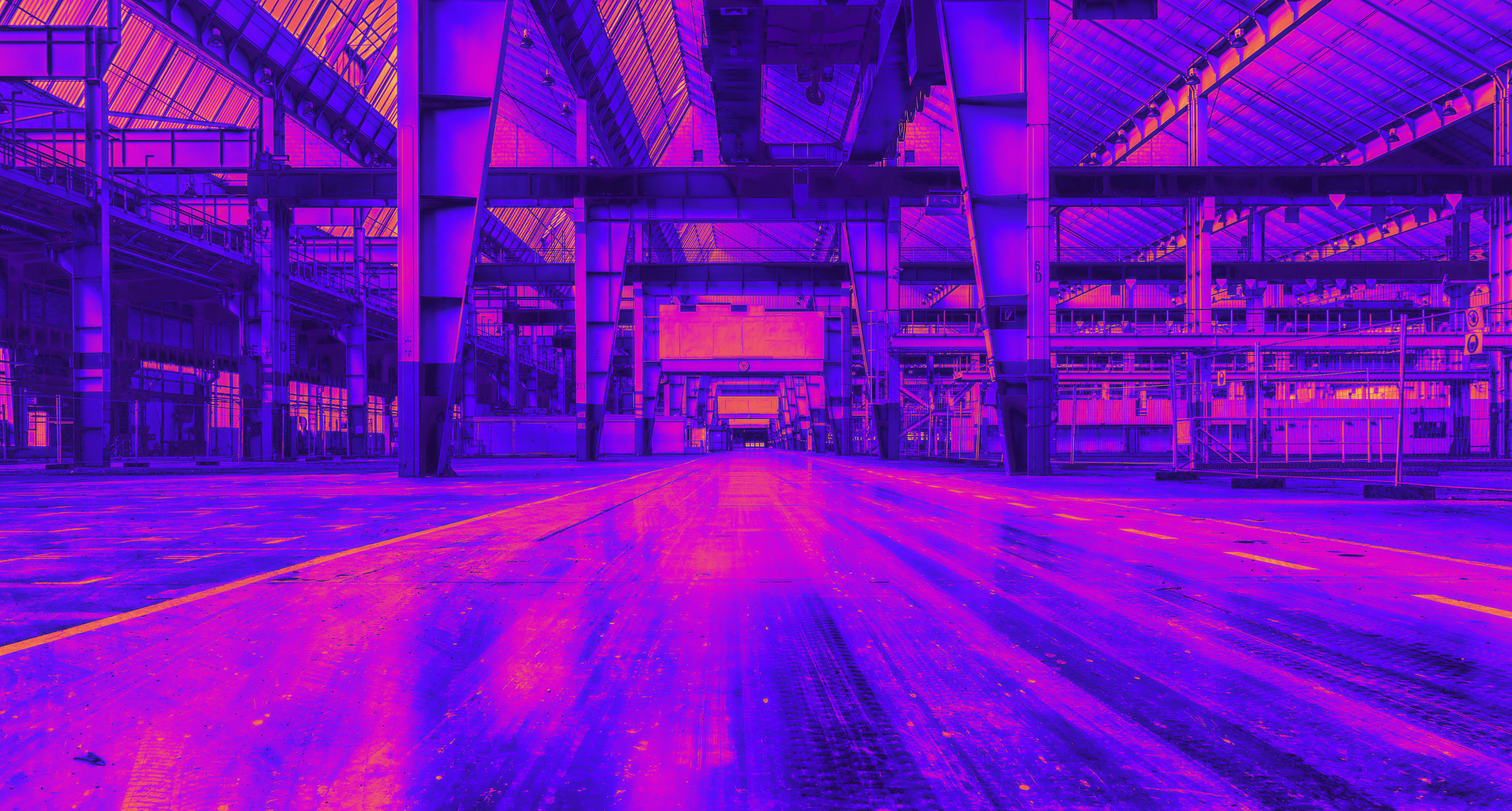
INDOOR
INDUSTRIAL
PLANT
Challenging GPS-denied environments, such as areas with obstacles, moving equipment, and narrow spaces, can be difficult to map, but they are ideal for Slam100's capabilities. Slam100 is equipped with advanced collision avoidance technology, SLAM mapping, and versatile data capture methods that enable efficient and accurate data capture in these environments.
- 3D models
- As-built / digital twin
- Change detection
- Pre-construction inspection
- Reverse engineering
- Safety inspection
INFRASTRUCTURE
what we do
BIM
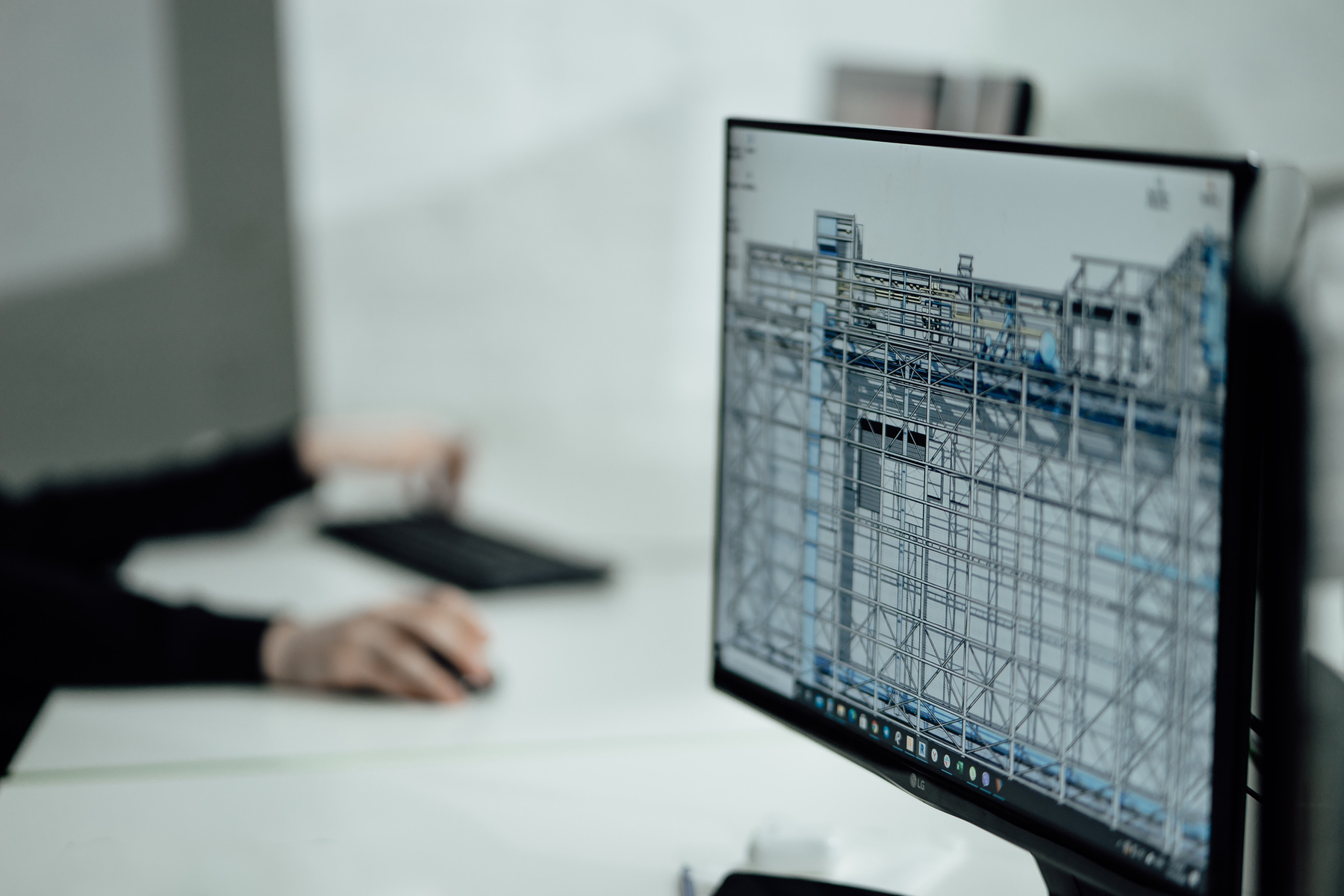
Building Information Modeling (BIM) is a powerful tool that allows architects, engineers, and construction professionals to create detailed 3D models of buildings and infrastructure projects. BIM can help to streamline the construction process, reduce costs, and improve communication and collaboration between project stakeholders.
To create accurate 3D models for BIM, it's important to have access to high-quality data about the built environment. One way to capture this data is through the use of Slam. Slam100 sanner allows for the real-time mapping of an environment using sensors and cameras, which can help to quickly and accurately capture data for use in BIM.
- As-built
- Clash detection
- Information sharing
- Mechanical, electrical, plumbing design
- Project collaboration
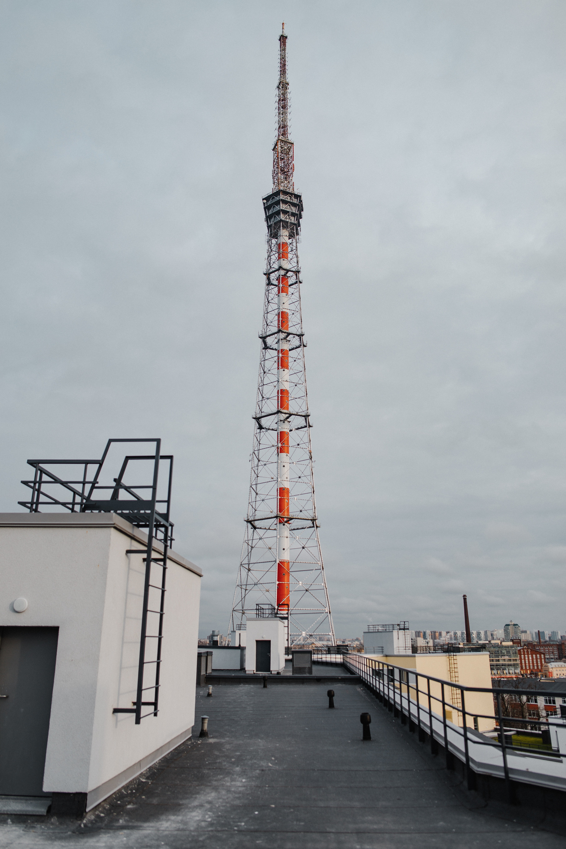
Telecommunication
Towers
Slam100 can capture high resolution and high-quality point cloud data while maintaining a safe standoff distance from the asset. This ensures the safety of the operator and the drone while acquiring critical data for asset management and maintenance.
- Antenna direction confirmation
- Antenna mount inspection
- Condition monitoring
- Corrosion deformation
- Change detection
- Space availability for new antennas
- Structural analysis
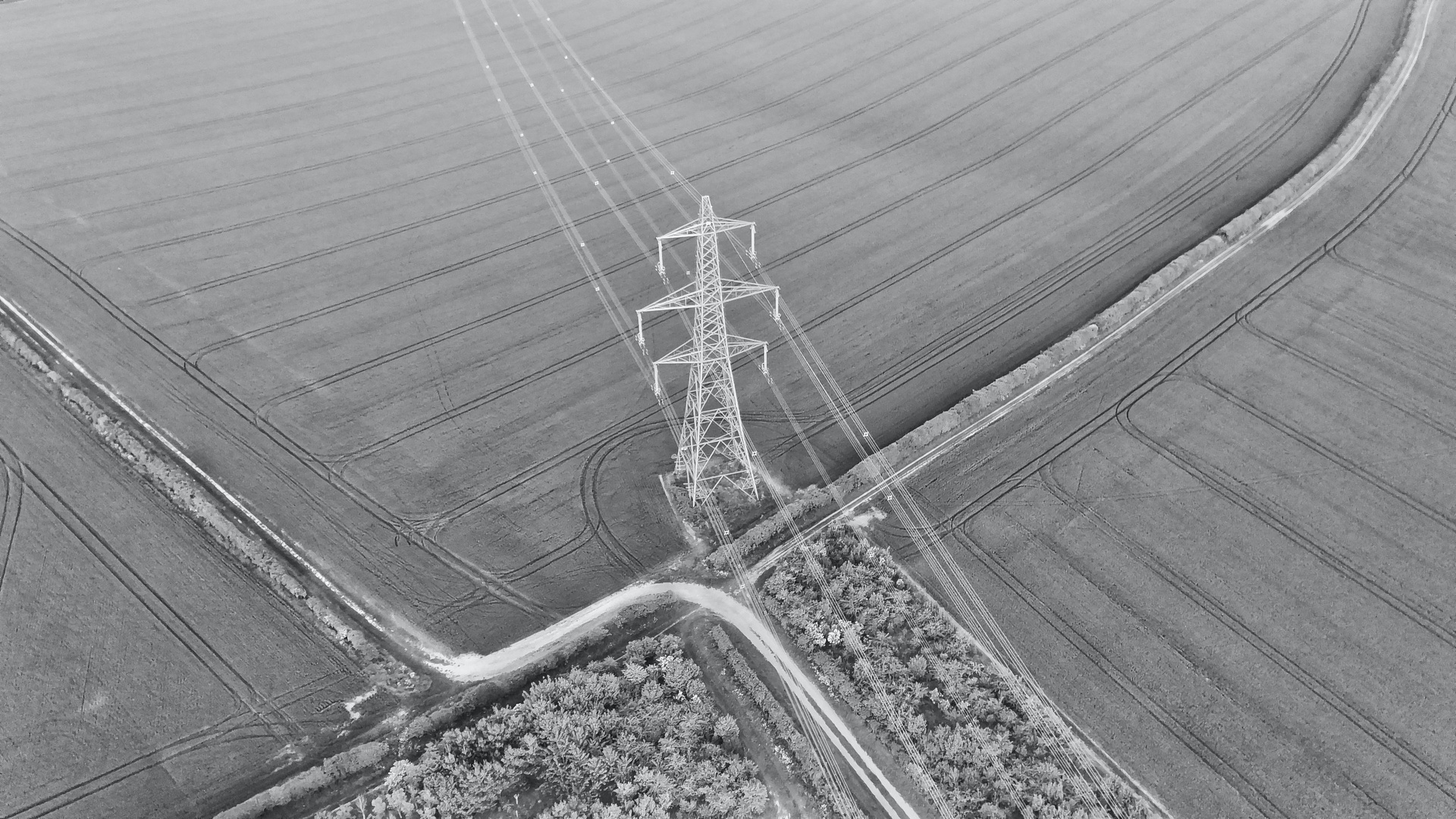
Transmission Towers and lines
By flying along power lines, Slam100 can inspect conductors, insulators, and towers for any signs of damage or wear and tear. It can also identify vegetation encroachment, which can be a major issue for power lines.
- As-built
- Condition monitoring
- Vegetation encroachment monitoring
- Insulator mount inspection
VERTICAL SHAFTS
SLAM technology can be a useful tool for inspecting vertical shafts and structures during construction, operation, or when abandoned.
By using drones equipped with SLAM technology, inspections can be conducted remotely and without putting personnel at risk. The drone can be flown or lowered in a protective cage to capture high-quality inspection data, which can be used to identify potential issues and assess the overall condition of the structure.
- Geotechnical inspection
- Seismic monitoring
- Airflow modeling
- Rehabilitation/shaft-closure
TUNNELS
Inspections are crucial for tunnels to maintain their safety, efficiency, and reliability as vital infrastructure. Slam100 offers a quick and precise scanning solution in GPS-denied environments, without causing significant delays to construction or operations.
- Compliance inspection
- Condition monitoring
- Fire control
- Geotechnical inspection
- Services monitoring
- Ventilation modeling

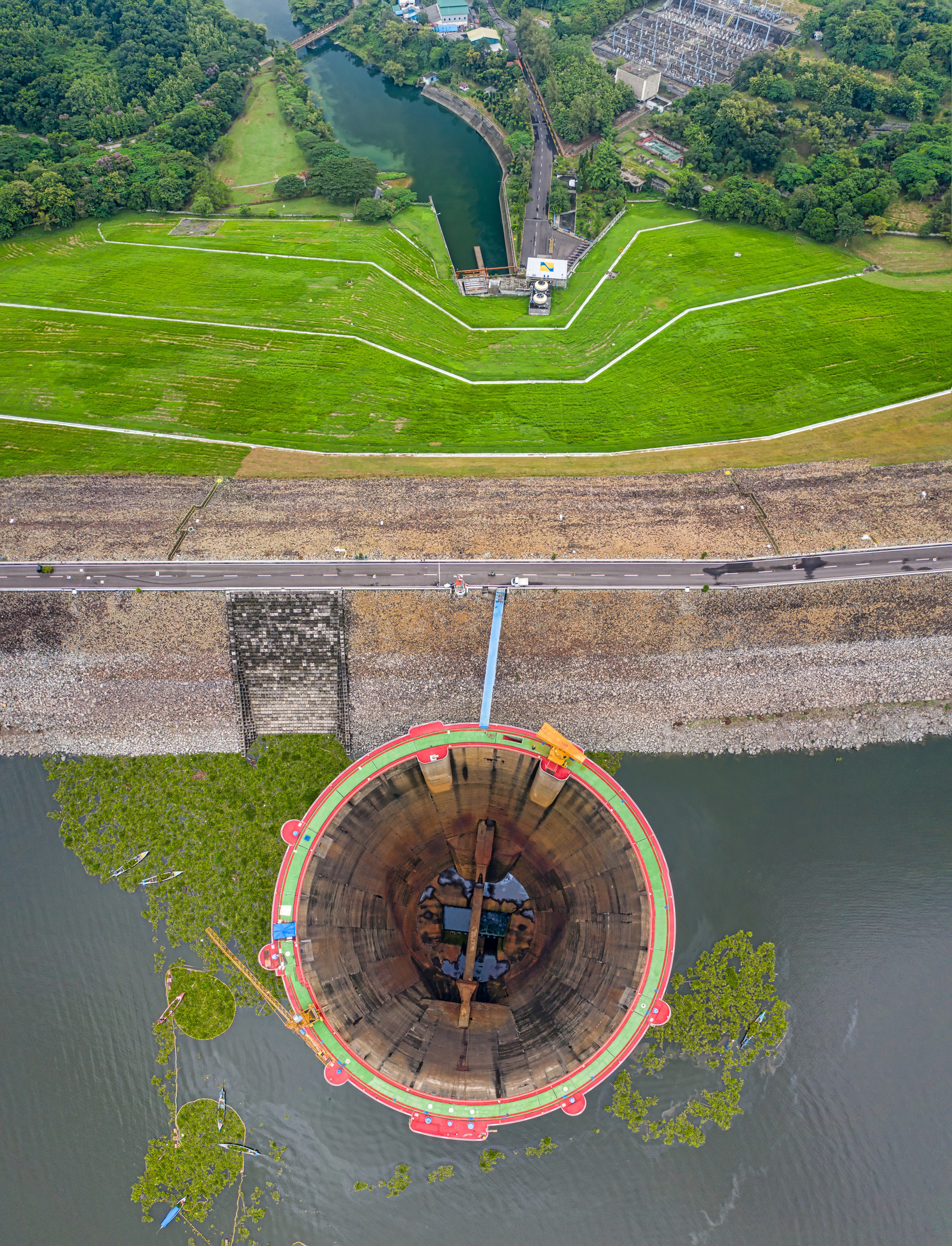
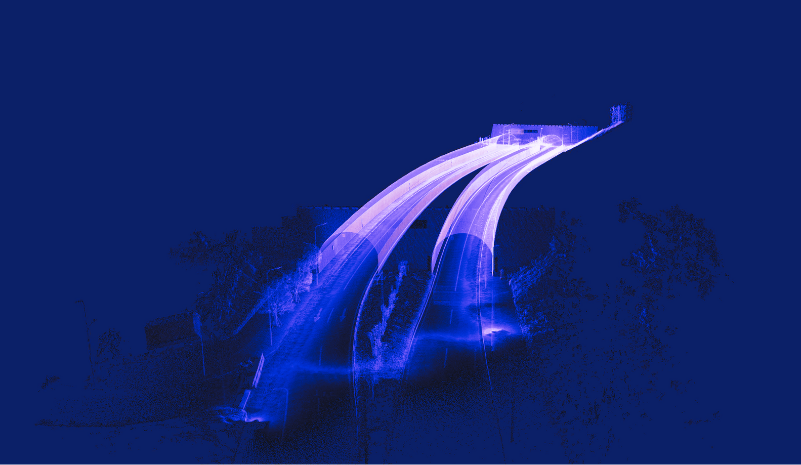
BRIDGES
Precise and reliable data is imperative when it comes to engineering work on bridges. With Slam100, high-resolution and accurate point cloud data of bridges can be captured, even in GPS-shadow areas. These scans can be combined with hydrographic surveys or other scans where they overlap, resulting in a comprehensive and complete data set of the entire asset.
- As-built
- Condition monitoring
- Reverse engineering
- Services inspection
- Structural integrity
- Visual inspection
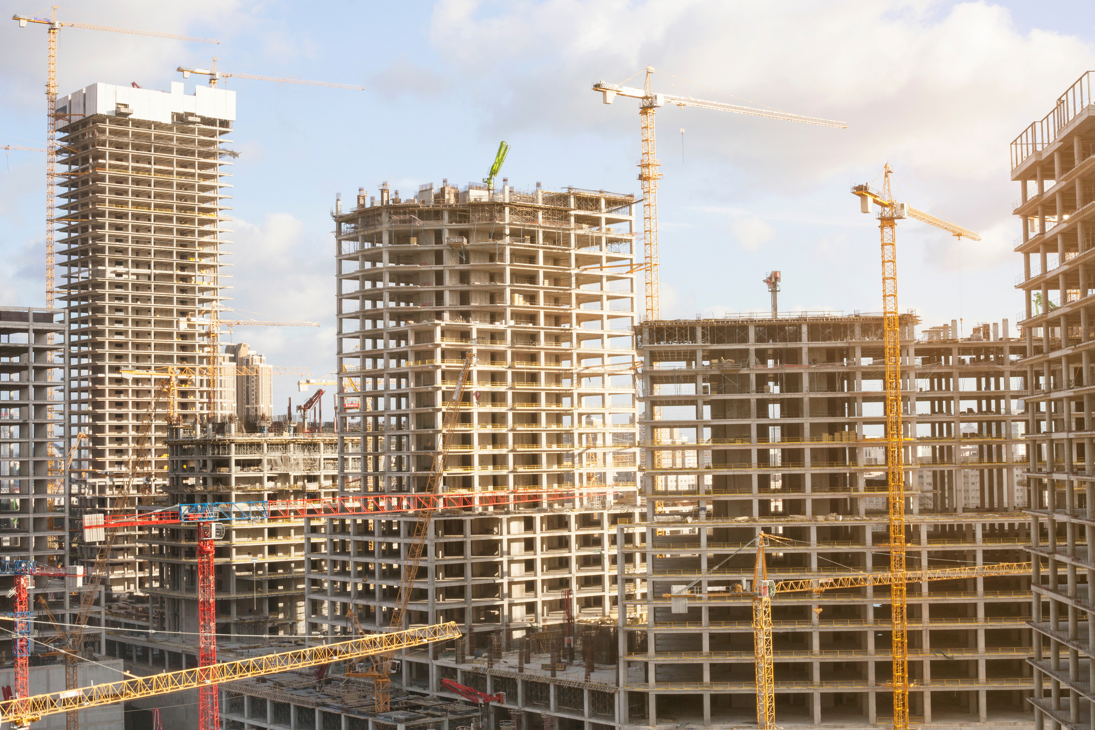
BUILDING & CONSTRUCTION
Mapping complex urban built environments can be a daunting task due to various challenges. However, Slam100 is equipped to handle these challenges by navigating through tall or vertical structures, including cranes, and operating in GPS shadow areas. This technology produces precise and high-resolution point clouds of the environment.
- As-built
- Clash detection
- Condition inspection
- Progress or QA reporting
- Reverse engineering
- Stakeholder engagement
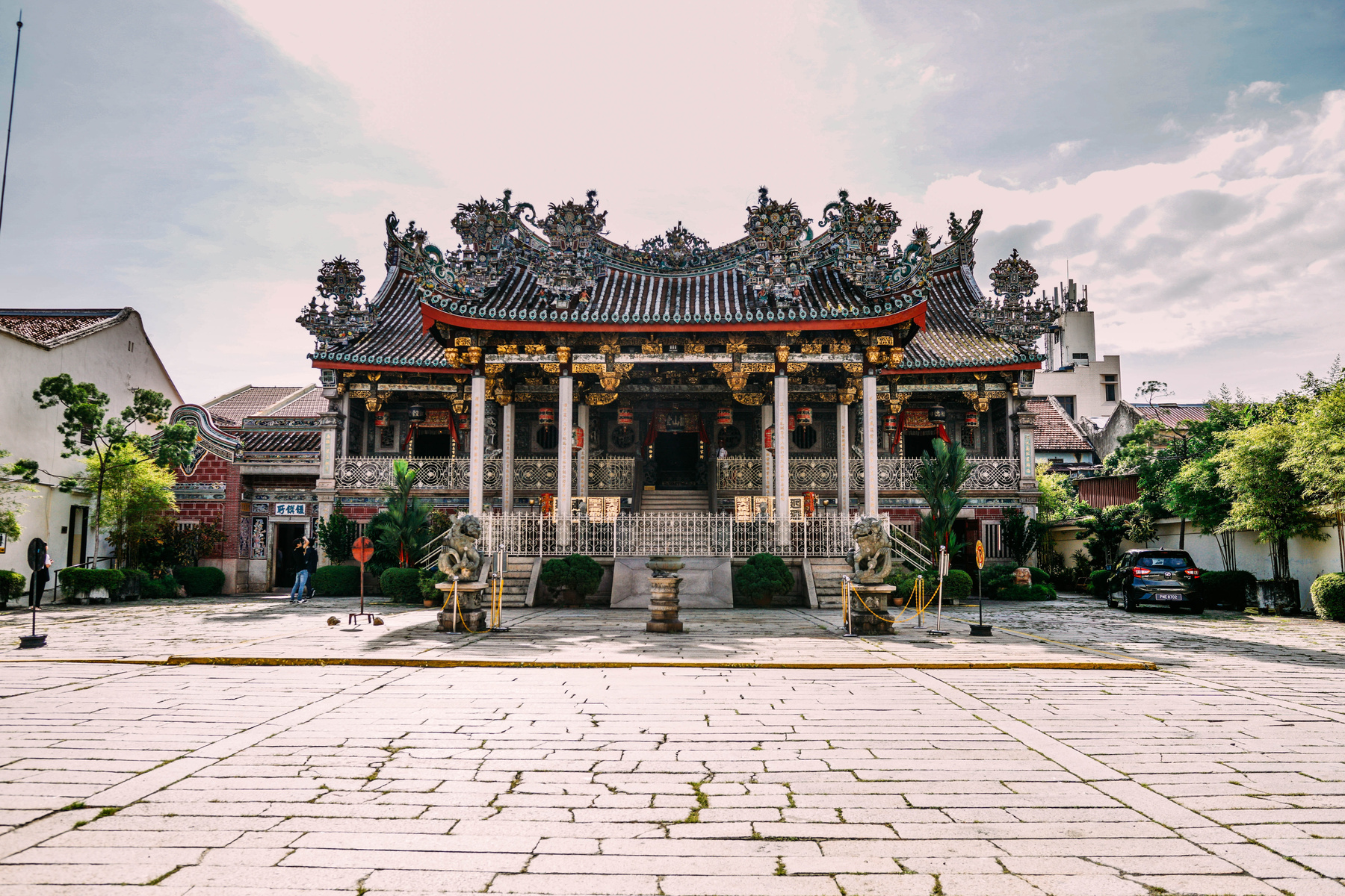
CULTURAL HERITAGE
Heritage buildings and structures are often constructed without much spatial information, making it essential to gather up-to-date data before and during preservation, redevelopment, or construction activities. Slam100 's long scanning range enables it to capture high-resolution and colorized data while maintaining a safe distance from the building or structure.
- As built
- Pre-mediation inspection
- Progress monitoring
- Public marketing
Make a difference
get in touch
Address:
3A, Jalan Suria 14,
Taman Suria, 81100,
Johor Bahru. Malaysia
Contact:
+60-125210298/+60-167168805

ZULU TECHNOLOGIES PLT
Email:
info.zulutechs@gmail.com


